Carner Aerial Solutions

  • Services
    • Multispectral Imagery
      • Multispectral Examples
    • Vertical Imagery
      • Vertical Examples
    • Thermal Imagery
      • Thermal Examples
    • Oblique Imagery
      • Oblique Examples
    • Aircraft Services
  • About
  • Pricing
  • Contact
  • Blog

Vertical Imagery

We can provide Nadir, true vertical, imagery covering your site at various spatial resolutions (ground sample distances) with a specializaition in site-specific timely acquisitions: construction sites, land management, site appraisal, or any other location. If you are wanting imagery covering your location but are unsure about the cost for your specific need, feel free to fill out our NO COMMITMENT Imagery Information Request form. We will be glad to examine your needs and respond with an estimate.
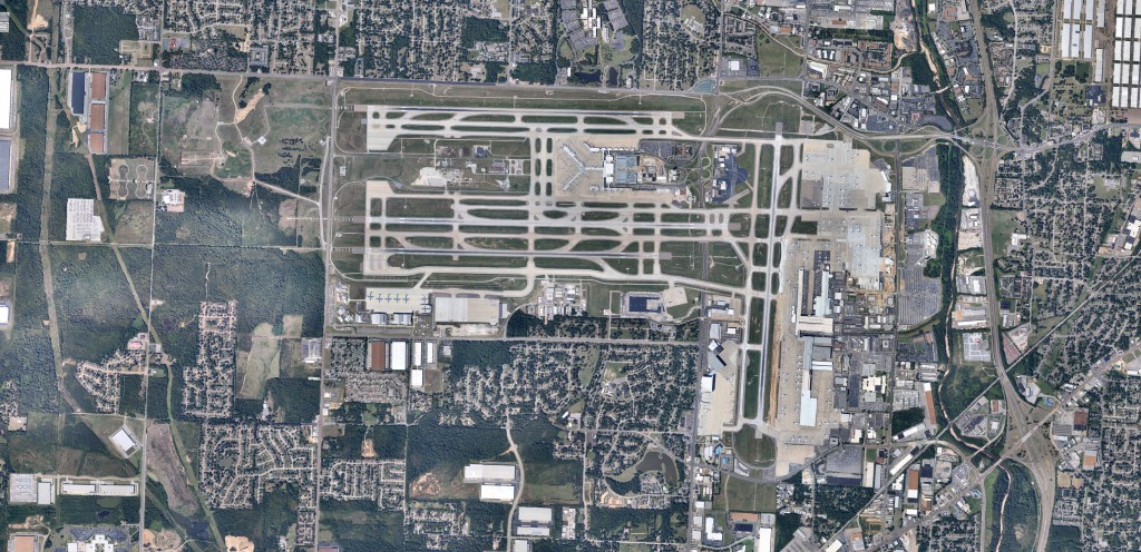
KMEM_Mosaic_1500p

Our Base of Operations

We are strategically located at the General Dewitt Spain Airport, Just north of downtown Memphis, TN, with the capability to deploy to satellite locations as the needs arise.

Have a Request…

We would love the opportunity to field any questions you might have in regards to your imagery needs. Feel free to fill out our Imagery Information Request form.

Or, email us for More Info...

Connect with us

Want to keep up with the latest at CAS? Follow us across our Social Networks.
  • Email
  • Instagram
  • YouTube

© Copyright 2014 Carner Aerial Solutions · All Rights Reserved · Info Request · All Logos & Images Belong To CAS·